

 Ako nakupovať
Doručenie
Nákupný poradca
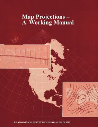
Map Projections
 Angličtina
 129 b
129 b
30 dní na vrátenie tovaru
Mohlo by vás tiež zaujímať


 /
Brožovaná
/
Brožovaná
 13.63
€
13.63
€


After decades of using only one map projection, the Polyconic, for its mapping program, the U.S. Geological Survey (USGS) now uses several of the more common projections for its published maps. For larger scale maps, including topographic quadrangles and the State Base Map Series, conformal projections such as the Transverse Mercator and the Lambert Conformal Conic are used. Equal-area and equidistant projections appear in the National Atlas. Other projections, such as the Miller Cylindrical and the Van der Grinten, are chosen occasionally for convenience, sometimes making use of existing base maps prepared by others. Some projections treat the Earth only as a sphere, others as either ellipsoid or sphere. The USGS has also conceived and designed several new projections, including the Space Oblique Mercator, the first map projection designed to permit mapping of the Earth continuously from a satellite with low distortion. The mapping of extraterrestrial bodies has resulted in the use of standard projections in completely new settings. Several other projections which have not been used by the USGS are frequently of interest to the cartographic public. With increased computerization, it is important to realize that rectangular coordinates for all these projections may be mathematically calculated with formulas which would have seemed too complicated in the past, but which now may be programmed routinely, especially if aided by numerical examples. A discussion of appearance, usage, and history is given together with both forward and inverse equations for each projection involved.
Informácie o knihe
Angličtina
