Doprava zadarmo s Packetou nad 59.99 €
Pošta 4.49 SPS 4.99 Kuriér GLS 3.99 Zberné miesto GLS 2.99 Packeta kurýr 4.99 Packeta 2.99 SPS Parcel Shop 2.99

Integration of Geographic Information Systems and Remote Sensing

Jazyk AngličtinaAngličtina
Kniha Brožovaná
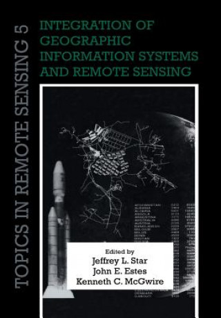
Kniha Integration of Geographic Information Systems and Remote Sensing Jeffrey L. StarJohn E. EstesKenneth C. McGwire
Libristo kód: 02024263
Nakladateľstvo Cambridge University Press, november 2010
Remote sensing and geographic information systems (GIS) are inherently linked technologies. Together... Celý popis
? points 184 b
73.34
Skladom u dodávateľa Odosielame za 15-20 dní

30 dní na vrátenie tovaru


Mohlo by vás tiež zaujímať


TOP
Hopeless Colleen Hoover / Brožovaná
common.buy 9.76
TOP
World of Warcraft: Comic Collection Blizzard Entertainment Blizzard Entertainment / Pevná
common.buy 13.69
Naruto (3-in-1 Edition), Vol. 13 Masashi Kishimoto / Brožovaná
common.buy 11.88
Maleficent - Mächte der Finsternis Craig Wood / Blu-ray
common.buy 18.63
Game Changers. The Evolution of Advertising Julius Wiedemann / Pevná
common.buy 59.84
Como o Cespe erra: Gest?o de Pessoas Mateus Maellard / Brožovaná
common.buy 7.75
Die Präsenz der Gefühle Manuel Borutta / Brožovaná
common.buy 31.12
Die weiße Logik Helmut H. Brand / Brožovaná
common.buy 9.86
Advantage of Lyric Barbara Hardy / Pevná
common.buy 230.02

Remote sensing and geographic information systems (GIS) are inherently linked technologies. Together, they form a powerful tool to measure, map, monitor and model resources and environmental data for both scientific and commercial applications. Originally published in 1997, this book brought together work by leaders in the field to address improved techniques, applications and research in integrated remote sensing and geographical information systems. Among the topics covered are image rectification, change detection, visualisation, computer modelling, local land use planning, requirements of GIS in global change research, and potential directions for research. Remote sensing and GIS play a key role in studies of water resources, air quality, topography, land cover, and population location and dynamics, and specialists working at the local, regional and global levels will find this book a valuable and stimulating resource.

Informácie o knihe

Celý názov Integration of Geographic Information Systems and Remote Sensing
Jazyk Angličtina
Väzba Kniha - Brožovaná
Dátum vydania 2010
Počet strán 248
EAN 9780521158800
ISBN 052115880X
Libristo kód 02024263
Nakladateľstvo Cambridge University Press
Váha 400
Rozmery 170 x 244 x 13
Darujte túto knihu ešte dnes
Je to jednoduché
1 Pridajte knihu do košíka a vyberte možnosť doručiť ako darček 2 Obratom Vám zašleme poukaz 3 Knihu zašleme na adresu obdarovaného

Prihlásenie

Prihláste sa k svojmu účtu. Ešte nemáte Libristo účet? Vytvorte si ho teraz!

 
povinné
povinné

Nemáte účet? Získajte výhody Libristo účtu!

Vďaka Libristo účtu budete mať všetko pod kontrolou.

Vytvoriť Libristo účet