Doručenie
Nákupný poradca


Nehodí sa? Žiadny problém! U nás môžete do 30 dní vrátiť
 Darčekový poukaz
v ľubovoľnej hodnote
S darčekovým poukazom nešliapnete vedľa. Obdarovaný si za darčekový poukaz môže vybrať čokoľvek z našej ponuky.
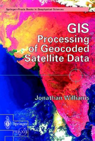
GIS Processing of Geocoded Satellite Data
 Angličtina
 467 b
467 b
30 dní na vrátenie tovaru
Mohlo by vás tiež zaujímať


The book opens with the basic techniques of satellite geocoding (including the use of GPS and mosaic production) before describing a wide range of algorithms for extraction of information from optical and radar satellite images. The text then moves on to address the derivation of topographic information from space (including the recent Shuttle Topographic Radar Mission) followed by an explanation of the added-value obtained through the integrated use of geocoded satellite data in a Geographic Information System (GIS). Practical commercial and scientific applications are described in detail - first looking at land applications such as agriculture and civil engineering and then at the oceanographic, atmospheric and cryospheric worlds. Jonathan Williams reviews recent developments in 'environmental monitoring and global security' such as hazard and disaster monitoring, population dynamics and space missions dedicated to environmental monitoring (such as the Earth Observing System and the European ENVISAT Mission). Finally, the author draws together all the threads under the generic term of geomatics - addressing cutting-edge developments such as Very High Resolution Imagery (VHR) and the role that satellite data may play in the development of Location Based Services for the third-generation telecom market.
Informácie o knihe
 Angličtina


 Ako nakupovať


